Explore all blogs
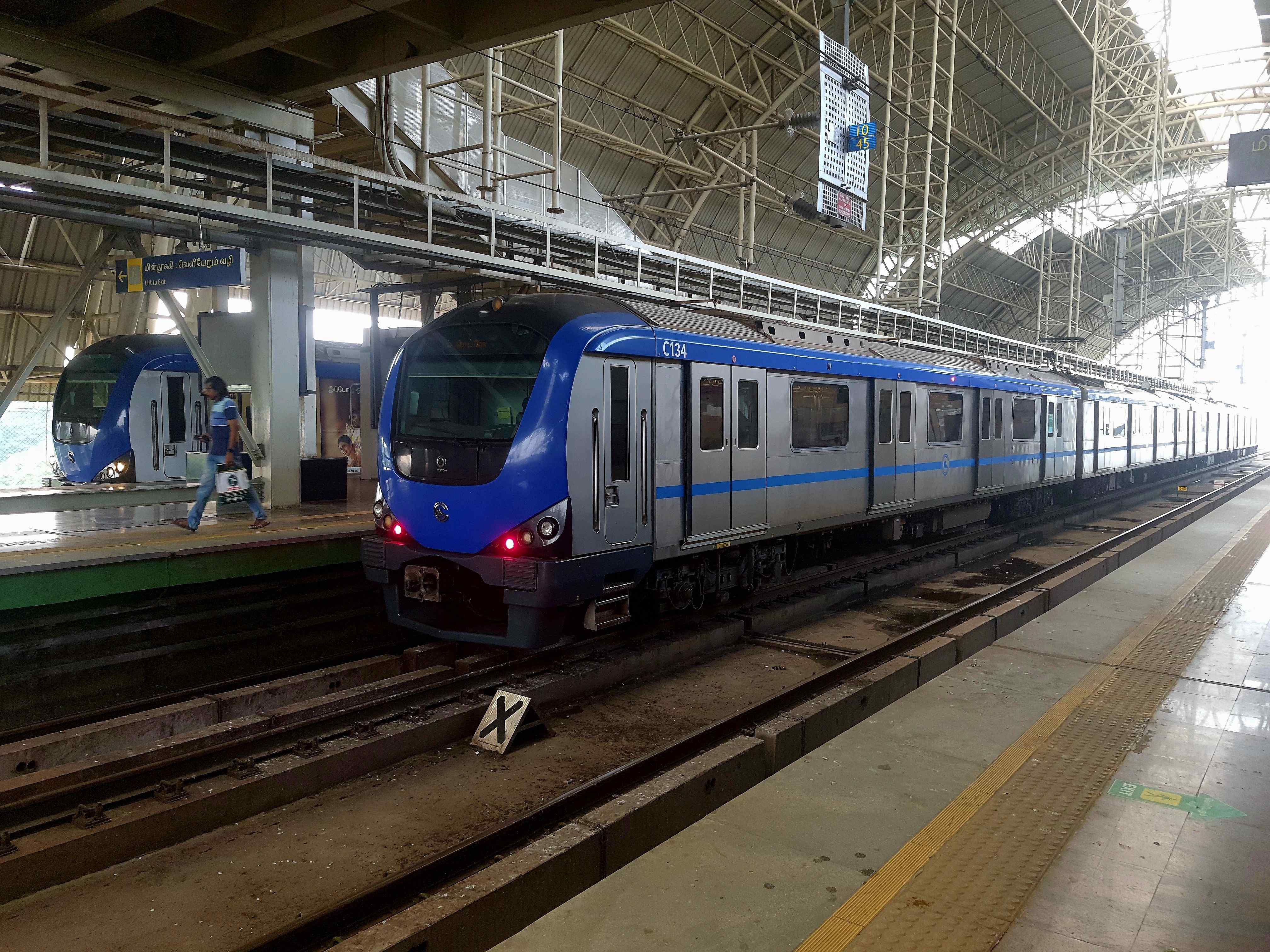
Chennai Metro: Map, Routes, Station List, Fares and Latest Updates 2026
Chennai Metro started in 2015 and is run by Chennai Metro Rail Limited under the Government of India and the Government of Tamil Nadu. It is 45.046 km long and connects key areas via the Blue and Green Lines, with important stations such as Airport, Central, and St. Thomas Mount. The Chen
Written by Manu Mausam
Updated on July 2, 2026
Chennai Metro Blue Line 2026: Map, Routes, Stations, Fares, Timings and Nearby Residential Areas
Chennai Metro Blue Line Phase I is Chennai’s first major metro project developed by Chennai Metro Rail Limited (CMRL) to provide a fast and modern transport system. It connects key areas through two corridors over 45.046 km and includes both underground and elevated routes. It was opened
Written by Manu Mausam
Updated on April 17, 2026
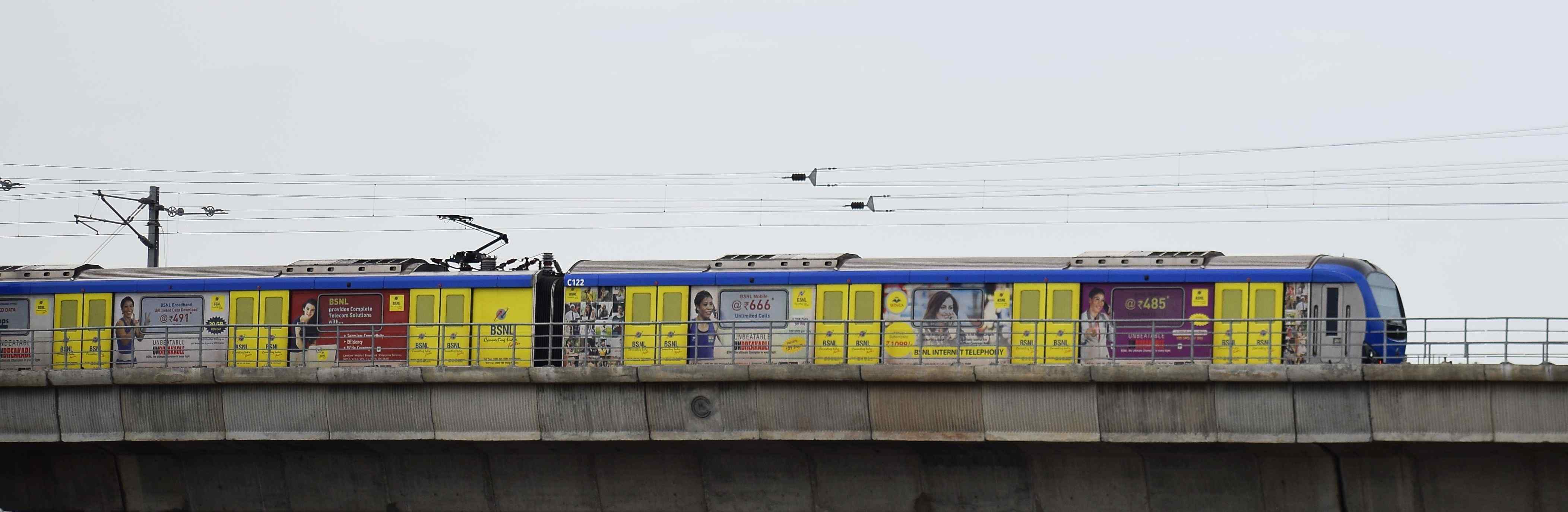
Chennai Metro Green Line 2026: Route, Map, Timing and Fares
The Chennai Green Line Metro is one of the two main corridors of the Chennai Metro and plays a vital role in connecting key areas of the city. It was started in June 2015 and covers about 22 kilometres with 18 stations. Some of the important stations include MGR Central (Chennai Central),
Written by Manu Mausam
Updated on April 3, 2026